Al contenuto principale
abebooks.it
Cerca
Login
Mio Account
Carrello
Aiuto
Menu
Mio Account
Tracciare ordini
Ricerca Avanzata
Collezioni
Libri antichi e rari
Arte e Collezionismo
Venditori
Vendere con noi
Aiuto
Chiudere
×
Cambia valuta
Scegli la valuta
Australia Dollari - A$, AUD
Canada Dollaro - C$, CAD
Euro - EUR
Regno Unito Sterline - £, GBP
Stati Uniti Dollari - US$, USD
Algeria Dinari - DZD
Arabia Saudita Riyal - SAR
Argentina Pesos - ARS
Bahamas Dollari - BSD
Barbados Dollari - BBD
Brasile reais - Real, BRL
Caraibi orientali Dollari - XCD
Cile Pesos - CLP
Cina Yuan renmimbi - CNY
Corea del Sud Won - Won, KRW
Danimarca Corone - DKK
Egitto Sterline - EGP
Filippine Pesos - Phi, PHP
FMI diritti speciali - XDR
Giamaica Dollari - JMD
Giappone Yen - ¥, JPY
Giordania Dinari - JOD
Hong Kong Dollari - HKD
India Rupie - Rup, INR
Indonesia Rupie - IDR
Islanda Corone - ISK
Isole Figi Dollari - FJD
Israele Nuovi shequel - ILS
Libano Sterline - LBP
Malesia Ringgit - MYR
Messico Pesos - MXN
Norvegia Corone - NOK
Nuova Zelanda Dollari - NZ$, NZD
Pakistan Rupie - PKR
Polonia Zlotych - PLN
Repubblica Ceca Corone - CZK
Repubblica Sudafricana Rand - R, ZAR
Romania Lei - RON
Russia Rubli - RUB
Singapore Dollari - S$, SGD
Svezia Corone - K, SEK
Svizzera Franchi - CHF
Taiwan Dollari - TWD
Thailandia Baht - THB
Trinidad e Tobago Dollari - TTD
Ungheria Fiorini - HUF
Cartography
Di
Carydale Books
Più popolari
Aggiunti di recente
Prezzo crescente
Atlas National Illustre des 86 Departements et des Possessions De La France
Victor Levasseur
1851
prima edizione
Atlas National Illustre des 89 Departements et des Possessions De La France
Victor Levasseur
1866
prima edizione
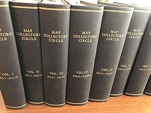
MAP COLLECTORS' CIRCLE (complete set)
Tooley, R. V.
1963
prima edizione
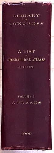
A List of Geographical Atlases in the Library of Congress (vol.1 only signed)
Phillips, Philip Lee
1909
Autografato dall'autore
prima edizione
A Naval Campaign in the Californias 1846 - 1849 the Journal of Lieutenant Tunis Augustus Macdonou...
T. A. M. Craven with Kemble, John Haskell (ed.)
1973
Autografato dall'autore
prima edizione
The Topography of Japan (inscribed)
Yamasaki, Naomasa
1908
Autografato dall'autore
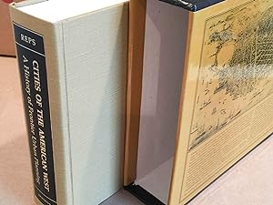
Cities of the American West A History of Frontier Urban Planning (inscribed)
Reps, John W.
1979
Autografato dall'autore
prima edizione
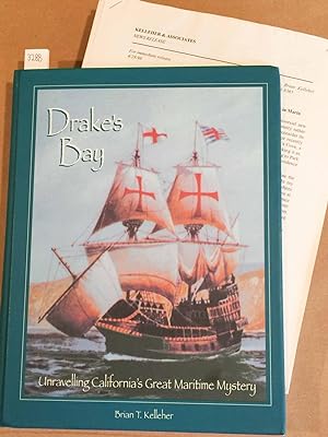
Drake's Bay Unravelling California's Great Maritime Mystery (inscribed)
Kelleher, Brian T.
1997
Autografato dall'autore
prima edizione
An Accurate Map of the Holy Land Divided into the Twelve Tribes of Israel, Accomodated to Sacred ...
Emanuel Bowen
1752
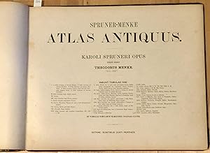
Spruner - Menke Atlas Antiquus; Karoli Spruneri Opus Tertio Edidit
Theodorus Menke
1865
New Encyclopedic Atlas and Gazetteer of the World (1910)
William Patten and J. E. Homans
1910
prima edizione
Topographic Map Grand Canyon National Park 1927 West half and East Half (2 Large maps)
United States Geological Survey Francois E Matthes and Ri...
1927
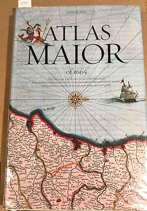
Atlas Maior of 1665 "The Greatest and Finest Atlas ever Published."
Joan Blaeu
2005
prima edizione
The History of Cartography Vol. 1 (in 1 book) Cartography in Prehistoic, Ancient, and Medieval Eu...
Woodward, David, J. B. Harley [eds.]
1987
prima edizione
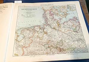
A General Map of the Empire of Germany. Holland, The Netherlands, Switzerland, The Grisons, Italy...
Captain Chauchard
1800
prima edizione
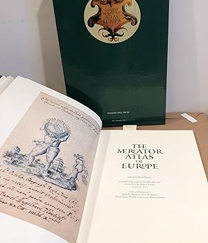
The Mercator Atlas of Europe Facsimile of the Maps by Gerardus Mercator in the Atlas of Europe, C...
Marcel Watelet [ed.]
1998
prima edizione
The Twentieth Century Atlas of the Commercial, Geographical, and Historical World
J. Martin Miller, George Spiel [illus.]
1902
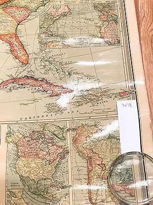
New and Accurate Map of Terra Firma and the Caribe Islands
Emmanuel Bowen
1745
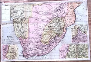
The Transvaal War Bacon's Large - Print Map of South Africa 1900
Bacon
1900
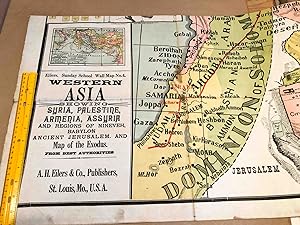
Eilers Sunday School Wall Map No. 4 Western Asia Showing Syria Palestine, Armenia, Assyria. Map o...
A. H. Eilers
1910
Nova Anglia
Homann, Johann Baptist
1720
New Century Atlas of Herkimer County New York with Farm Records
Century Map Co
1906
prima edizione
Histoire De JULES CESAR Atlas (only)
Henri Plon
1866
prima edizione
Standard Atlas of Sullivan County Missouri including a Plat Book of Villages, Cities, and Townshi...
Geo. A. Ogle
1897
prima edizione
Stielers Hand - Atlas 100 Karten in Kupferstich mit 162 Nebenkarten Herausgegeben Von Justus Pert...
Stieler, Adolf
1910
Maps of Delhi
Guerrieri, Pilar Maria
2017
prima edizione
Seven Ordnance Survey maps 1813 1843 in slipcase
Colby and Mudge
1833
prima edizione
Atlas to Accompany the Monograph on the Geology of the Comstock Lode and the Washoe District (ATL...
George F. Becker
1882
prima edizione
Sir Francis Drake, a pictorial biography
Kraus, Hans Peter
1970
prima edizione
Linen backed folding Map Two Sheet Road Map England and Wales - South Sheet (1923)
Geographia
1923
Official Government Road Map Province of Ontario 1930 -31
Ontario Department of Public Highways
1930
Map Portfolio Europe and the Americas, 1486 - 1606 (5 reproductions and descriptions)
Clements Library
1995
prima edizione
The History of Cartography Vol. 2 (in 3 books) Cartography of the Traditional Islamic and South A...
Woodward, David, J. B. Harley , G. Malcolm Lewis [eds.]
1992
prima edizione
Atlas of Herkimer County New York
Nichols, B.
1868
prima edizione
Portulan de Gaspard de Coligny Amiral de France
Gaspard de Coligny
1995
prima edizione
The United States and its New Possessions wall map 1900
National Publishing Company
1900
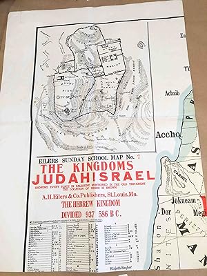
Eilers Sunday School Wall Map #7 The Kingdom of JUDAH ISRAEL
A. H. Eilers
1910
Geologic Atlas of the United States. Yellowstone folio 30 1896
George D. Walcott
1896
Syria Ancient and Modern with inset maps of Palestine and the Tribes and Jurusalem (second edition)
James Wyld the Younger Cartographer to the Queen
1845
Atlas De L' Afrique du Nord (Atlas of North Africa)
M . Georges Hardy, M. Max Sorre [preface], P. Pollacchi, ...
1939
prima edizione
Map of National Park - To - Park Highway 1927
National Highways Association
1927
Topographic Map Hyannis, Cape Cod MA , 1961 map
United States Geological Survey
1961
Geologic Map of Wyoming 1925 (2 sheets)
United States Geological Survey M. R. Campbell, W. B. Eme...
1925
The History of Cartography Vol. 3 (in 2 books) Cartography of the Italian Renaissance
Woodward, David
2007
prima edizione
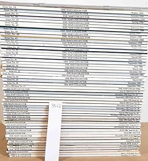
The Map Collector (complete run of issues 1- 53 1977- 1990 with index issues)
Ronald Vere Tooley (ed.)
1977
prima edizione
A Classical Atlas, to Illustrate Ancient Geography comprised in 25 maps.
Findlay, Alexander G.
1853
prima edizione
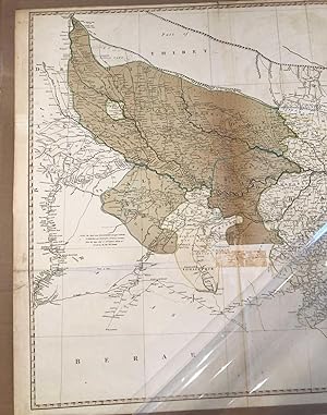
A Map of Bengal ( 1786 ca. 29" x 43")
Rennell, James
1786
A Map of Germany Divided into its Circles by John Blair as a Supplement to His Tables of Chronolo...
John Blair, Thomas Kitchen
1768
The California Water Atlas
Kahrl, William L. [ed.]
1979
prima edizione
Topographic Maps New York and New Jersey Ulster and Rockland counties and part of New Jersey west...
United States Geological Survey
1903
Topographic Maps Vermont Memphremagog, Hardwick, Lyndonville, Burke 1951, 1953 4 maps
United States Geological Survey
1951
Topographic Map Chatham and Monomoy Point, Cape Cod MA , 1961 and 1964 2 maps
United States Geological Survey
1961
Johnson's HINDOOSTAN and Farther India (map)
A. J. Johnson
1867
The Geographical Review (10 issues 1956- 1959)
1956
prima edizione
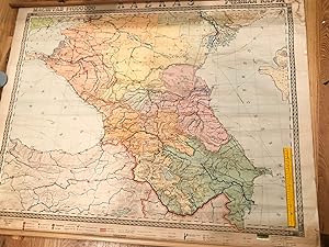
Russian Wall map of Caucasus Region or Caucasia 1955
USSR
1955
Atlas of Tioga County New York
F. W. Beers
1869
prima edizione
Altas of Illinois Illustrated (1876)
Warner & Beers
1876
prima edizione
Set of 14 maps comprising India and Ceylon (Sri Lanka) extracted from Letts's Popular Atlas 1883 ...
Letts
1883
Centennial Map of The United States of America. 1878 ( or atlas incomplete set 12 of 17)
Julius Bien
1878
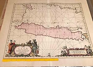
Java map with some of Sumatra, Borneo, Bali ca. 1700
P. Schenk and G. Valk
1700
Carica altri