
Importo totale (1 articolo articoli):
Destinazione ordine:

victorian england wales 1897 di bartholomew (29 risultati)
Vai alla pagina principale dei risultati di ricerca
Tipo di articolo
- Tutti i tipi di prodotto
- Libri (26)
- Riviste e Giornali
- Fumetti
- Spartiti
- Arte, Stampe e Poster
- Fotografie
- Mappe (3)
- Manoscritti e Collezionismo cartaceo
Condizioni
Legatura
- Tutte
- Rilegato
- Brossura (6)
Ulteriori caratteristiche
- Prima ed.
- Copia autograf.
- Sovracoperta
- Con foto (3)
- Non Print on Demand (29)
Spedizione gratuita
- Spedizione gratuita negli USA
Paese del venditore
Valutazione venditore
-
Victorian Maps England and Wales, 1897 (9): No. 9 (Victorian Maps, England and Wales 1897 S.)
Editore: Old House Books
ISBN 10: 1873590490ISBN 13: 9781873590492
Libro
Paperback. Condizione: Very Good. The book has been read, but is in excellent condition. Pages are intact and not marred by notes or highlighting. The spine remains undamaged.
-

Victorian Maps England and Wales, 1897 : Sheet 7 , South West.
Editore: Old House, 2005
ISBN 10: 1873590474ISBN 13: 9781873590478
Da: Lewes Book Centre, LEWES East Sussex, ES, Regno Unito
Valutazione venditore:

Mappa
No Binding. Condizione: Fine. Fine fold-out-map,in decorative sleeve,a facsimile edition of the 1897,copy*MAP NEW AMD UN-FOLDED*COLOURED ORDNANCE SURVEY MAP SHEET 7. SOUTH WEST.
-
Victorian Maps England and Wales, 1897 : No. 8 (Victorian Maps, England and Wales 1897 S.)
Editore: Old House, 2005
ISBN 10: 1873590482ISBN 13: 9781873590485
Da: Lewes Book Centre, LEWES East Sussex, ES, Regno Unito
Valutazione venditore:
Mappa
No Binding. Condizione: Very Good. v/g sleeve ,with as new FOLD-OUT-map,1897,facsimle copy.
Ulteriori offerte da altri venditori AbeBooks
Nuovo - A partire da EUR 25,52
Usato - A partire da EUR 5,45
-
Victorian Maps England and Wales, 1897 (5): No. 5 (Victorian Maps, England and Wales 1897 S.)
Editore: Old House Books
ISBN 10: 1873590458ISBN 13: 9781873590454
Libro
Paperback. Condizione: Very Good. The book has been read, but is in excellent condition. Pages are intact and not marred by notes or highlighting. The spine remains undamaged.
-

Victorian Maps England and Wales, 1897 (9): No. 9 (Victorian Maps, England and Wales 1897 S.)
Editore: Old House
Condizione: VeryGood. Most items will be dispatched the same or the next working day.
-

Victorian Maps England and Wales, 1897 (5): No. 5 (Victorian Maps, England and Wales 1897 S.)
Editore: Old House
Condizione: VeryGood. Most items will be dispatched the same or the next working day.
-
Victorian Maps England and Wales, 1897 (2): No. 2 (Victorian Maps, England and Wales 1897 S.)
Editore: Bloomsbury Publishing PLC, United Kingdom, London, 2005
ISBN 10: 1873590423ISBN 13: 9781873590423
Libro
Paperback. Condizione: Very Good. 1897, the year in which these maps first appeared in The Royal English Atlas, was one of great celebration for it marked the Diamond Jubilee of Britain's longest reigning monarch Queen Victoria. But there was much more to celebrate than her continuing occupancy of the throne as the previous sixty years had seen the greatest ever period of industrial development. The rapidly expanding industrial towns and cities were now the homes of workers who once laboured on the land but were now in the factories and mines creating and processing the needs of the mother country and the Empire. To record these changes the Victorians had become great map makers and the Ordnance Survey had already been publishing maps for a century. This series, created from Ordnance Survey maps, were coloured and published in book form. They are now available in sheets for the first time. The construction of the railway network, commenced a mere 72 years before, was now virtually complete with over 20,000 miles in use. They are all marked, as are their 'predecessors' the canals. But, despite all the changes brought about by the Industrial Revolution, the great conurbations we know today were still surprisingly small in 1897. The countryside had changed little for centuries. There were still scores of aristocratic homes surrounded by park land where now the urban sprawl, new towns and industrial estates may be found. Just as interesting is what is not shown. Notice how small the towns and scattered villages are, indeed there is a village just to the west of London on sheet 9 which shows the three or four houses that made up the village of Heathrow. There are no by-passes and all the major trunk roads pass along the high streets of country towns. Motorways had, of course, not even been dreamt about but interestingly the route of a proposed channel tunnel is marked. These maps provide a fascinating insight into the past and will be a delight for local historians, walkers, genealogists and indeed anyone curious to see how their area used to be. Each map has a booklet describing England and Wales in 1897. The book has been read, but is in excellent condition. Pages are intact and not marred by notes or highlighting. The spine remains undamaged.
-
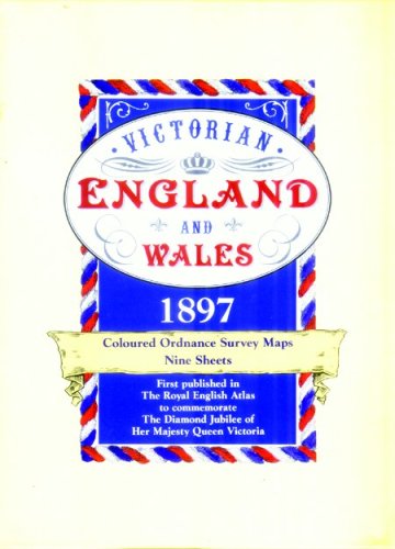
Victorian Maps, England and Wales 1897: Complete Set 9 Coloured facsimile Ordnance survey maps 4 miles to the inch (Victorian Maps, England and Wales 1897 S.)
Editore: Old House Books
ISBN 10: 1873590407ISBN 13: 9781873590409
Libro
Paperback. Condizione: Very Good. The book has been read, but is in excellent condition. Pages are intact and not marred by notes or highlighting. The spine remains undamaged.
-
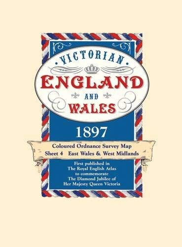
Victorian England and Wales 1897 Coloured Ordnance Survey Map Sheet 4: East Wales & West Midlands (Victorian England & Wales 1897)
Editore: Old House, 2006
ISBN 10: 187359044XISBN 13: 9781873590447
Libro
Condizione: New. 2005. Folded. Map. New. . . . . Books ship from the US and Ireland.
Ulteriori offerte da altri venditori AbeBooks
Nuovo - A partire da EUR 6,63
Usato - A partire da EUR 6,63
-
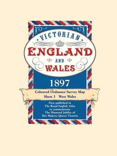
Victorian Maps England and Wales, 1897 (3): No. 3 (Victorian Maps, England and Wales 1897 S.)
Editore: Old House Books
ISBN 10: 1873590431ISBN 13: 9781873590430
Libro
Paperback. Condizione: Very Good. The book has been read, but is in excellent condition. Pages are intact and not marred by notes or highlighting. The spine remains undamaged.
Ulteriori offerte da altri venditori AbeBooks
Nuovo - A partire da EUR 7,43
Usato - A partire da EUR 14,95
Scopri anche Brossura
-

Victorian Maps England and Wales, 1897 (1 ): No. 1 (Victorian Maps, England and Wales 1897 S.)
Editore: Old House Books
ISBN 10: 1873590415ISBN 13: 9781873590416
Libro
Paperback. Condizione: Very Good. The book has been read, but is in excellent condition. Pages are intact and not marred by notes or highlighting. The spine remains undamaged.
-
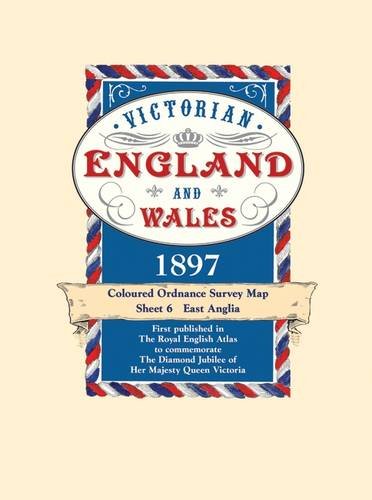
Victorian Maps England and Wales, 1897 (6) (Victorian Maps, England and Wales 1897 S.)
Editore: Old House, 2005
ISBN 10: 1873590466ISBN 13: 9781873590461
Libro
No Binding. Condizione: Fine. Old House 2005 Map in wallet. a fine/as new copy. Fast shipping from the U/K.
Ulteriori offerte da altri venditori AbeBooks
Usato - A partire da EUR 2,11